
We know that Edinburgh is not just one place, but it is made up of many different areas. Each with its own good points and challenges.
We need to get an understanding of each area, what it’s like to live there and what we need to plan for in City Plan 2040.
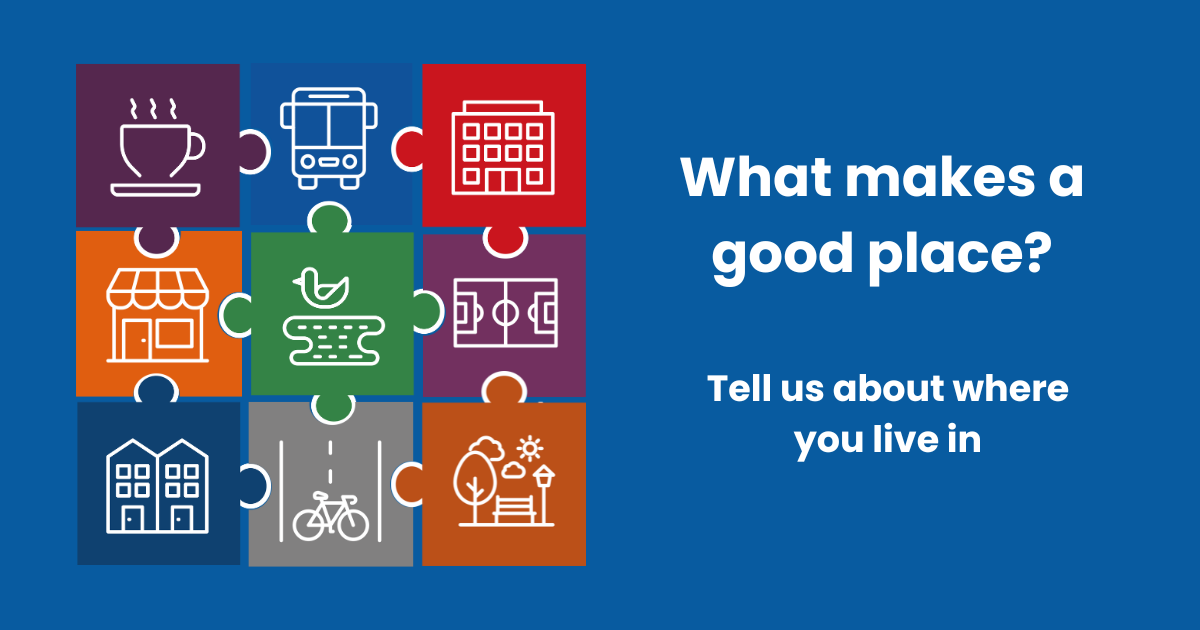
To gather people’s views, we have launched a public engagement asking people ‘what they think about where they live’.
The questionnaire covers the important things that make a good place such as homes, local shops and services, healthcare, public transport, open space, play facilities, community space and jobs .
If you live in Edinburgh, you can find out more and fill in the questionnaire on our Consultation Hub here
There are also a series of drop-in events:
- Monday 3 November at the Waverley Court (Hawthorn Learning Space) from 14:30-19:30
- Saturday 8 November at the Gyle Shopping Centre (Main Concourse) from 12:00-15:00
- Tuesday 11 November, Kirkliston Parish Church Hall from 15:30-18:30
- Wednesday 12 November, Sighthill Library/ Gate 55 from 16:00-19:00
- Monday 17 November at Oxgangs Library (Community Room) from 16:00-19:00
- Tuesday 18 November at Drumbrae Library Hub (Parkgrove Room) from 15:30-19:00
- Wednesday 19 November at Magdalene Community Centre from 15:30-19:00
- Friday 21 November at North Edinburgh Arts Centre (Theatre Suite) from 16:00-19:00
Saturday 17 January 2026 at Cameron Toll Shopping Centre from 11:30-14:30
City Plan 2040 Update
City Plan 2040 will be our next local development plan after City Plan 2030.
There are several formal stages that we need to go through as we prepare City Plan 2040. We have produced a Development Plan Scheme which explains these stages and sets out the timetable for the plan preparation.
Currently, we are working on our Evidence Report which is the first stage of preparing a local development plan. This will contain topic papers on a wide range of issues.
The Evidence Report will provide a baseline of information and what we might need to address in City Plan 2040.


You must be logged in to post a comment.